If you’re planning a trip to the Jungfrau Region near Interlaken, Switzerland, don’t miss the Grütschalp to Allmendhubel to Mürren hike—picturesque trails that showcase the best of the Swiss Alps. This moderate hike takes you through breathtaking landscapes, with views of towering peaks, rolling meadows, and alpine cafés. On my recent adventure to the Swiss Alps, this trail stood out for its peaceful alpine atmosphere and the iconic sight of grazing cows. Whether you’re an avid hiker or just looking for a scenic walk, this hike provides options for adventure in one of Switzerland’s most stunning regions.
Disclosure: Some of the links below may be affiliate links, meaning, at no cost to you, I will earn a commission if you click through and make a purchase.
Swiss Alps to Grütschalp, Allmendhubel and Mürren
On our trip to Interlaken, Julia and I knew we wanted to go hiking in the Swiss Alps. The iconic vistas! The panoramic views! The snow capped mountains. It is in the “must do” column of our itinerary.
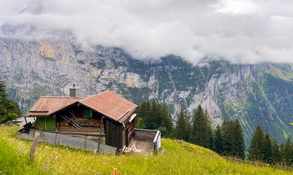
We decided on a hike from Grütschalp to start off our trip. We hiked to Allmendhubel, and then continued on down the hill to Mürren. The first part of our hike is the Allmendhubel hike or Mountain View Trail #351, and the second is known as the Northface trail.
Both of these trails are on the Schilthorn mountain, which reaches 9744 feet at its highest point. This mountain offers hiking in the summer and skiing and some hikes in the winter. It has three stages, Allmendhubel, Birg, and Piz Gloria (peak), all reachable by cable cars from Mürren or Lauterbrunnen.
Planning your hike in the Swiss Alps at Schilthorn
Admittedly, we did not plan the hiking route as well as we could have. We had all of the appropriate gear, sans hiking poles. I had brought my hiking pack with me to France and Switzerland as a carry on, so I had my emergency kit, headlamp, etc. in it. We had snacks and plenty of water. What surprised us was the elevation.
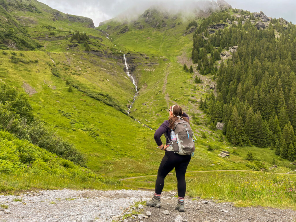
I know you’re thinking, “Laura. You are in the Swiss ALPS. The MOUNTAINS? Are you daft?”
The answer to that should be obvious. What surprised us was that the hike summaries we had read made it seem like an easier hike, and it was steeper than we thought. Or we are just wildly out of shape. Both can be true.
To actually plan your hike, I recommend finding a hiking book or site to assist you. The Cicerone guides are usually a gold standard for European hiking, however they do not provide a lot of detail on the hikes. On our hike, we used the Rick Steves Switzerland book, especially on the second portion of the hike to guide us through the small villages. A Rick Steves book is no match for hiking GPS software, like AllTrails or Komoot, which got good reviews for Europe.
In writing this post, I also found Switzerland Mobility Site, which has topo maps and basic hike info, as does MySwitzerland.com.
A lot of other travel bloggers like EarthTrekkers also have guides to the Allmendhubel and Northface hikes. As with any hike, preparedness is key.
Allmendhubel or Mountain View Trail #351
Name: Mountain View Trail
Start: Grütschalp
Ending: Allmendhubel
Distance: 5km / 3.1 miles
Elevation: 520m / 1700 feet (most in the first part of the hike)
Technical: Yes, this is a medium hike so you should bring hiking boots
Duration: 2 hours
Switzerland Mobility Hike Link: Number 351
Getting to Allmendhubel from Lauterbrunnen
To reach the hike to Allmendhubel, you begin in Grütschalp, which is reached via Lauterbrunnen. This hike is number #351 and also known as the Mountain View Trail.
- Train to Lauterbrunnen station (from Interlaken or Wilderswil)
- Funicular/cable car to Grütschalp
- The hike begins!
There is an easy version of the Mountain View and a hard version. The easy version is a Wanderweg, or pedestrian path suitable for anyone to do the hike. When we went to the Lauterbrunnen TI for directions, she took one look at our gear and said “You could absolutely do the slightly harder hike.” So we did the hard version.
I highly recommend stopping at any Tourist Information office, or TI, before you begin your hike. The Lauterbrunnen TI had a map for us and some additional instructions on how to get there. They are an invaluable resource when in Switzerland!
Before heading out on our hike, we popped into the COOP grocery store across from the train station. This was our favorite thing to do on our trip to Interlaken. We loaded up on sandwiches for the hike and some snacks we saw on TikTok. I got Darvida crackers and a Rivella soda to try out.
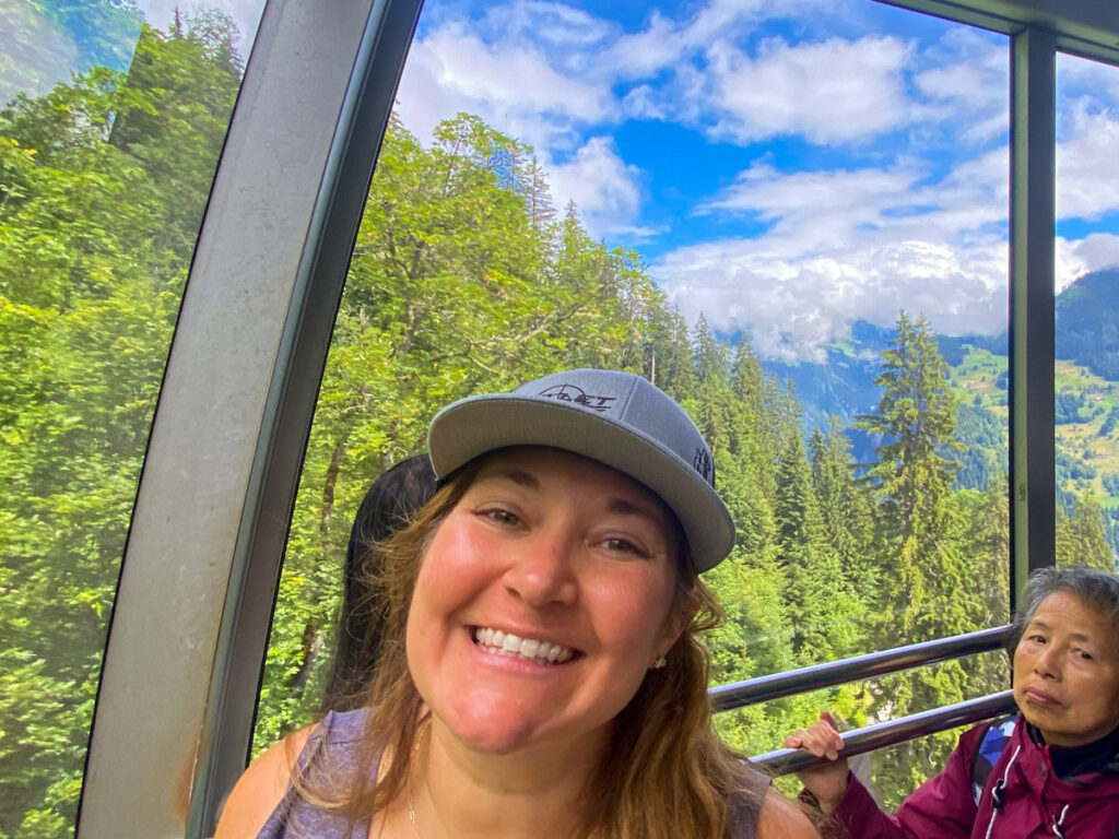
To reach the beginning of the hike, we headed up to Grütschalp via cable car. It’s an easy walk to the station in Lauterbrunnen, essentially across from the train station. We bought our tickets at a kiosk and walked on to the cable car, which does not really have seats. We stood for a seven minute ride up the mountain to the Grütschalp station.
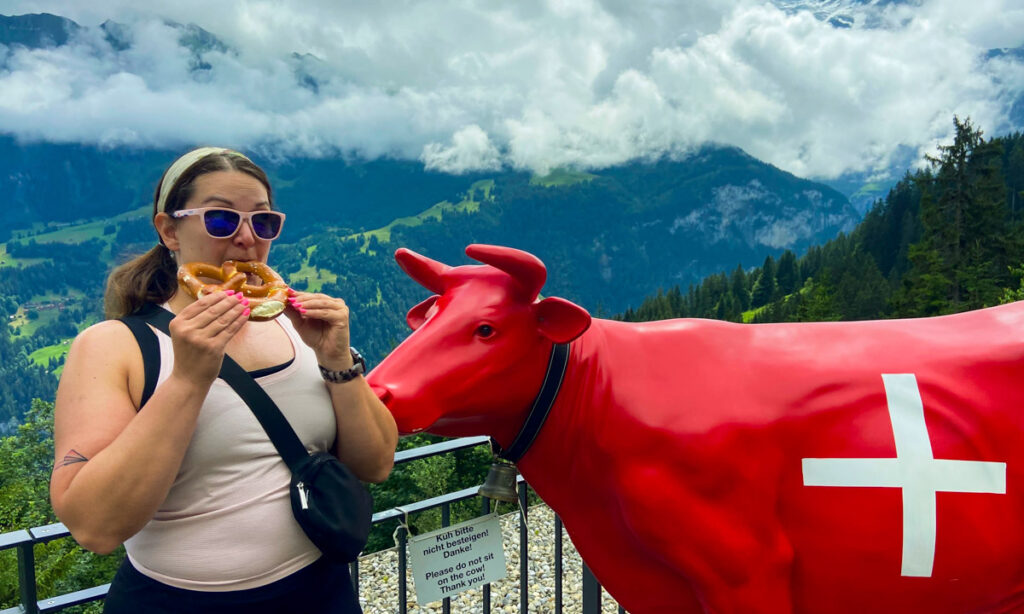
The Grütschalp station has a small café and seating area. We grabbed a pretzel (I can’t resist a Swiss Bretzel) and made some friends with the locals before heading out. You can see from our attire that we’re in tank tops at this point. It was sunny and warmer in Lauterbrunnen, but it got colder as we went. It’s important to be prepared for weather on hikes like this – you can see my packing list of what I brought.
Understanding Swiss Hiking Signs
Switzerland has extremely well marked hikes, because that is how the Swiss roll. Trails are marked with both signs and blazes. To read this sign in the photograph, the top few directionals are yellow, which means the paths to those destinations are Wanderwegs, or pedestrian paths. Those are suitable for anyone, including strollers. The white and red stripes are hiking paths. Swiss hiking signs also have blue marks, which are technical alpine routes. There are also green squares indicating the name of the trail if it’s in the Swiss Mobility hiking site.
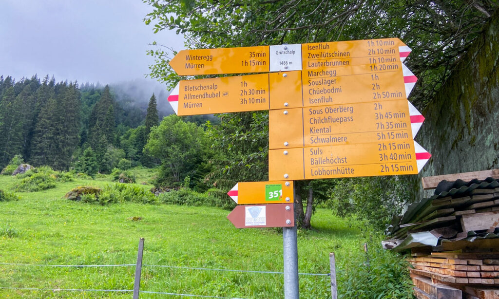
In this photograph, the paths to Winteregg and Mürren are yellow, so those are easy trails that should take 35 minutes and 1h15min respectively. Isenfluh is also a pedestrian path. The rest are hiking trails. You can see on the left side of the sign our destination is Allmendhubel, 2h30min away. It also has a cable car indicator, which means there is a station there to go up or down the mountain.
The Mountain View hike to Grütschalp
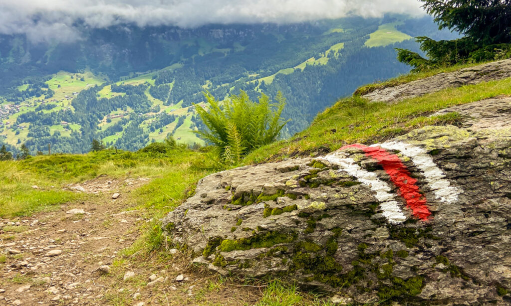
The hiking routes are marked along the way with white and red striped blazes, as seen in the photograph. To begin the hike, we hiked what felt like straight up for 30 minutes. This hike had all of its elevation gain early in the hike. Based on the “easy version” of the hike, we assumed this was fairly rolling elevation just higher up on the hill. We were wrong!
As I’m looking through my photos, We hit a point where Grütschalp was “30 min” away according to the sign, but it took us at least an hour to reach, if that gives you any idea of what we were in for.
The hike leveled out in large pastures, where we saw a hang glider preparing for a jump. Gliding is very popular in this region, with a number of companies using the peaks and pastures for their flights. At this point, Jungfrau peeked out from behind the clouds! That would be the last we’d see of her until the next day.
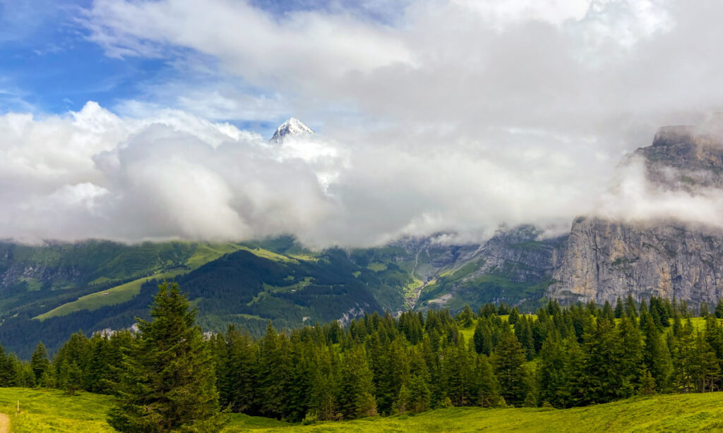
We continued through pastures barred by turnstiles to keep the cows out of neighboring fields. There were a variety of these gates throughout the hike. We passed so many beautiful cows, all wearing small bells that alerted us to their presence.
After 90 minutes we still hadn’t reached Allmendhubel so we stopped for a snack and a soda from our Coop haul. I loved the Darvida Thyme and Salt crackers we picked up. The Rivella soda is a local soda brand. It’s no Diet Coke, but it was not bad. If you’ve had Seattle Sodas, it tasted like that. We hiked for another hour, passing more lovely cows, waterfalls, and wildflowers.
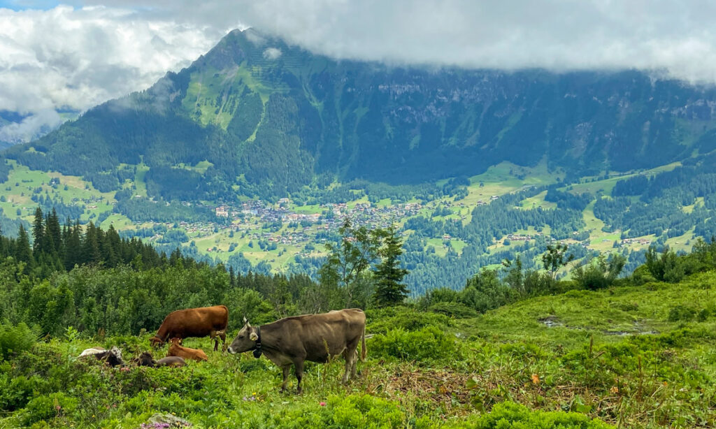
We finally reached Allmendhubel after 2h30 minutes. Editor Laura here: When we were doing the hike we assumed we were so so slow. I had it in my head that this hike should have taken 1h30 minutes, and I included that in the first draft. However, as I go back through my photos I check the timestamps and I can clearly see it took us exactly 2h30. So…maybe we weren’t as slow as we thought? It felt like it took us forever for this three mile hike.
Allmendhubel, the end of the Mountain View hike from Grütschalp
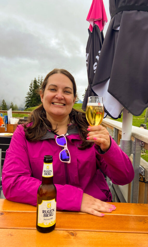
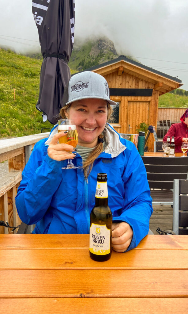
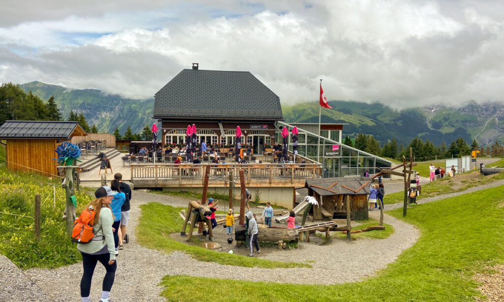
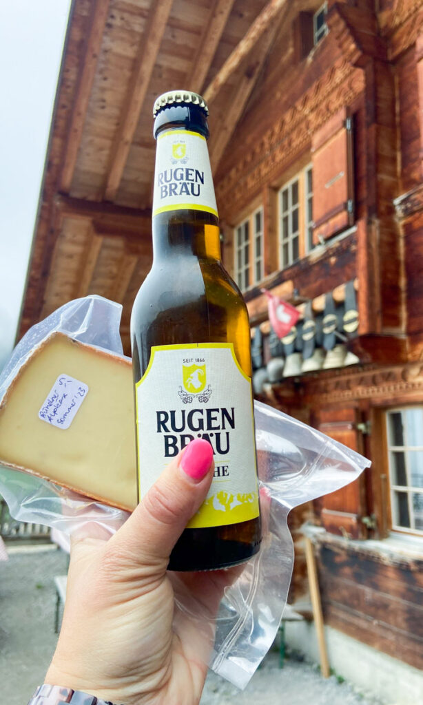
Allmendhubel was a charming village at the midpoint of the mountain. The stop had a cable car station to reach the top/bottom of the mountain, plus a lovely cafe with plenty of indoor and outdoor seating. The inside dining room of the Panorama Restaurant had a wait for reservations, but we were able to grab a table at the outdoor patio immediately. We ordered two of my favorite local beers, a local shandy called Rugen Brau Panache. It was a lovely lemony beer, for CHF 5. What a steal!
What impressed me the most about Allmendhubel was the enormous playground and Panorama walk for kids! The playground was so interactive and kids were having a blast. We saw these at most alpine huts we visited. Allmendhubel is a nexus for several trails, including a kid-friendly alpine “flower park” trail. You could continue up the Schilthorn mountain to Piz Gloria, hike up towards Schiltalp, or back down to Mürren.
The Northface Trail to Schiltalp and Mürren
Getting to the Northface Trail and Allmendhubel
We reached this trail by hiking from Grütschalp to Allmendhubel. You can also reach this trail via cable car from Mürren to the Allmendhubel station.
It’s mostly a loop trail although I guarantee Julia and I did not know that. It seems from the internet that the most common way to hike this is starting at Schilthornbahn in Mürren and hiking it clockwise, and taking the funicular from Allmendhubel back down. We did this in reverse.
Name: Northface Trail on Schilthorn
Start: Allmendhubel
Ending: Mürren
Distance: 6.5km / 4 miles
Elevation: 390 m / 1200 feet (mostly descent)
Technical: Yes, this is a medium hike
Duration: 2h
Hiking Link: Mürren area (this is not in the Switzerland Mobility site)
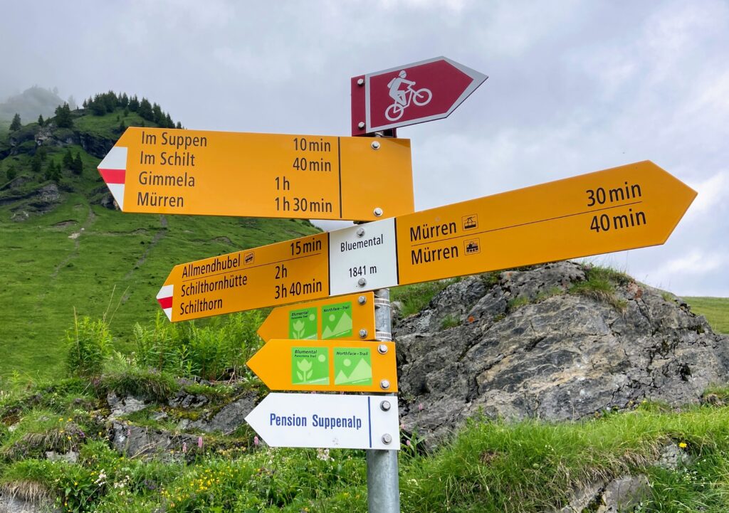
It was at this point that Julia and I made a grave miscalculation on both the distance down the mountain and our energy levels. Instead of taking the cable car back down to Mürren, or the easy 35 minute walk down the hill to Mürren, we took the very long 2h30 hike via Pension Suppenalp. Once again, I give you the sign from just past Allmendhubel where it says it’s 1h30 to Mürren via the alpine hiking path. Readers, we are slow. We absolutely should have bailed on this hike and taken the cable car down.
The Northface Trail hike
Instead we walked and walked and walked, through more fields of wildflowers and pastures. This part of the hike was deceptively confusing. It’s called the Northface trail, named so because you are hiking along the north face of this mountain (Schilthorn). We followed the instructions in the Rick Steves book, which gave the small town names we needed to pass through to stay on the right path.
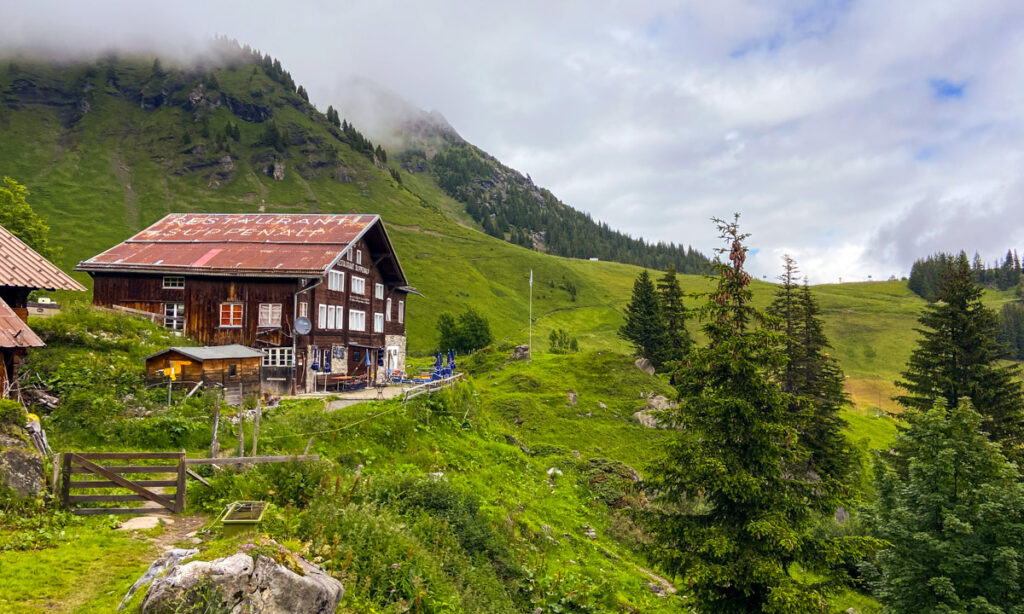
We passed a few small alpine huts serving snacks and beer on the way down, including Restaurant Suppenalp (it’s on the roof), and the Schiltalp farm.
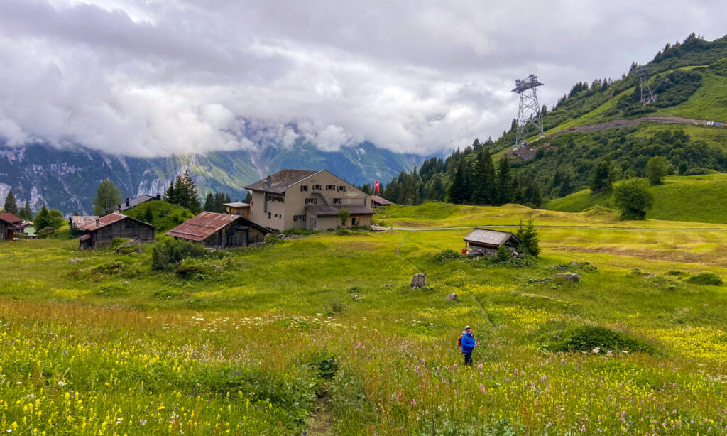
I had read that if the bells were hung outside the farmhouses, that meant the cows were home. I didn’t understand what that meant until we were at Schiltalp. The enormous decorative bells hang from the rafters outside the farm, meaning the cows are at the top of the mountain grazing. Farmers put the bells on the cows and decorate them with flowers and greens from the harvest to move them back down to the valley floor for winter.
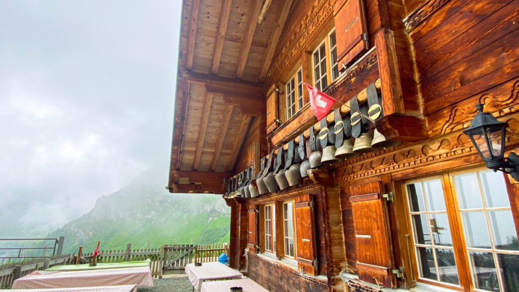
What we loved at Schiltalp was that they had an honor fridge with alpen kase and more shandy beers, plus they had a dog, Ellie!!!! Ellie was obviously the best girl ever.
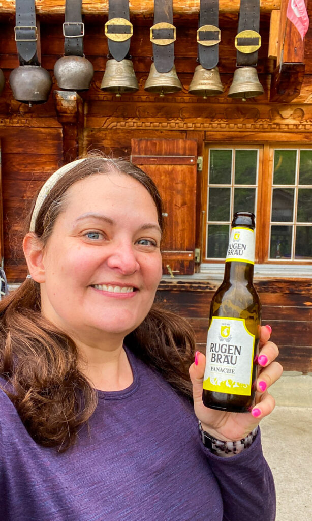
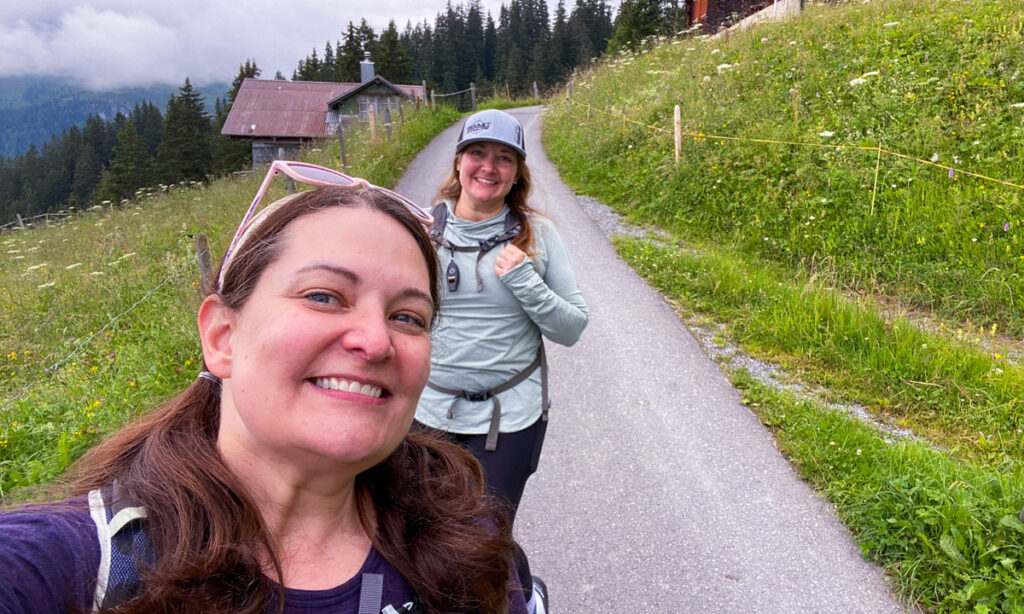
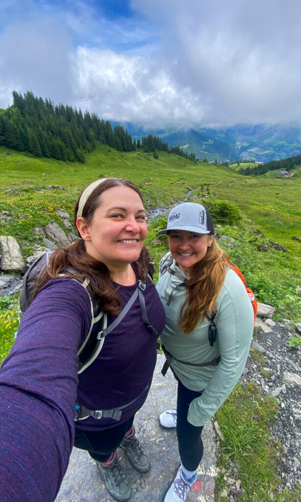
We continued our way down the mountain, finally finding a paved road towards Mürren. Julia looks happy in this picture, but she was hurting and ready to murder me. Her boots were incredibly painful, and I forced her to jog to the cable car to get back home. The cable cars came every 30 minutes, but if we didn’t catch this one we’d have to wait another hour. WE had to hustle to catch the cable car down to the far end of Lauterbrunnen Valley, where we caught the bus to the train station, then the train to Wilderswil.
Getting back to Wilderswil
We stayed in Wilderswil, and the journey back took us about an hour. The journey is kind of a blur because we were SO tired, but this was what we did, I think. The easiest thing to do is google maps the route when you finish to find the fastest way.
- Cable car from Mürren Schilthornalp to Gimmelwald
- Cable car from Gimmelwald to Stechelberg
- Bus from Stechelberg through the Lauterbrunnen Valley to Lauterbrunnen Station
- Train from Lauterbrunnen Station to Wilderswil
Other activities in Mürren region
Another activity we could have done in lieu of the insane hike down the hill was taking the cable car up to Piz Gloria and the top of Schilthorn. Schilthorn peak is famous for being a major filming location for the James Bond film “On Her Majesty’s Secret Service.” The Bond villain dubbed the restaurant Piz Gloria, and apparently that name has stuck!
While at the top, you can watch highlights from the film with interactive flight simulators too. You can also grab a snack and drink at the bar, although at this altitude (9744 feet), I’m not sure that’s advisable. True adventurers can hike to the summit from Birg, although this is a very difficult hike. Regardless of your adventure level, you can see panoramic views from here or the lower station, Birg.
Piz Gloria has a rotating restaurant that is temporarily closed since October 7, 2024, to prepare for a new cable car system dubbed Schilthornbahn 20XX.
I wish we had realized how close we were to this activity instead of hiking back down. Lonely Planet has Schilthorn and Piz Gloria in its Top 500 Travelist. Longtime readers and IG fans will know my sister and I have a competition to see who can visit the most locations!
Don’t miss a moment of the ✨ Sparkling Summer ✨
Read all about Paris, Taylor Swift, hiking in the alps, getting slightly lost in the Alps, cycling through wine country, drinking through wine country, and cycling AND drinking through wine country. Catch every post on my Sparkling Summer on Hi Friends It’s Laura.
Read MoreWhere to Stay to Hike to Allmendhubel or Mürren
While you can stay anywhere in the Jungfrau region to do these hikes, the easiest start will place you in Lauterbrunnen or Mürren. We stayed in Wilderswil at Chalet Gafri, which was endlessly charming. However, it was a long trek at the end of the day. If you’re staying in Interlaken, you can add another 20 minutes on at the end. There are pros and cons of each location. I did a deeper dive into every place to stay in my Interlaken overview.
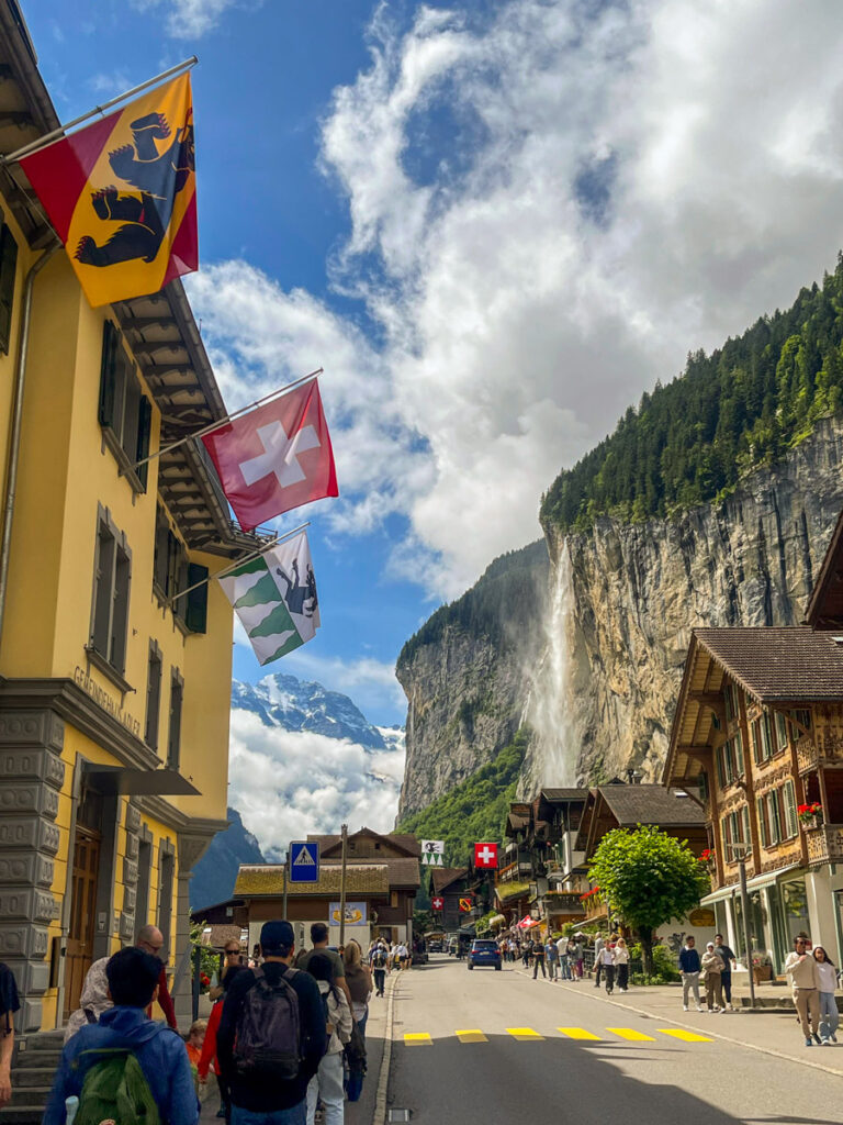
Lauterbrunnen and Wengen
Lauterbrunnen makes for an easy start to the Grütschalp-Allmendhubel hike, since you just take the cable car up the hill.
Budget – Hotel Silberhorn, Lauterbrunnen. Rick Steves also recommends this hotel. Rates from $281.
Mid – Hotel Falken, Wengen. Rates from $450.
Mid – Alpine retreat in the “valley of the waterfalls “ with breath-taking view, Lauterbrunnen Valley floor. Rates from $553.
Luxury – Grand Hotel Belvedere, a Beaumier Hotel & Spa, Wengen. Rates from $750.
Mürren
This is the end of our hike, but you could do the hike in reverse, or take the train to Grutsalp to begin.
Budget – Eiger Guesthouse, Mürren. Rick Steves also recommends this hotel. Rates from $250.
Budget – Hotel Restaurant Sonnenberg, Mürren. Rates from $181.
Mid/Luxury – Drei Berge Hotel, Mürren. Rates from $470.
Jungfrau Region and Interlaken Itinerary FAQ
Are the hiking trails in the Jungfrau region suitable for beginners, or are they mostly advanced?
There are trails for every activity level, although most trails we went on were harder than average. The Rick Steves book does a good job of outlining some popular hikes in the area. I would also recommend stopping at the Tourist Information locations in any towns you’re hiking from. We were able to get better maps and a sense of the difficulty of the hike (very hard!) from the Lauterbrunnen TI before starting.
In general, the trails are very well marked signs that point the town or trail, direction, the walking time, and the difficulty of the trail. Some also indicate the trail number as well.
A plain yellow sign is a “wanderweg” or pedestrian footpath, suitable for all levels. We saw a lot of families, strollers, dog walkers, etc on these walkways. Red and white striped corner is a more challenging route. We still saw a number of families on these trails, though they require hiking boots not sneakers.
A blue and white stripe indicates a technical alpine route, which is very challenging. If you’re reading my blog you are probably not taking this trail.
In general, the trails we took were a nice mix of up and down along ridgelines and valleys, not straight up and then down like it is here in Washington. What’s terrific about trails here is the availability of alpen cafes with beers, meals, bathrooms and playgrounds for the kids.
What kind of clothing and gear should I bring?
You need warm and waterproof clothes to hike in this region since the temperature gets much colder as you go up the mountain. Rain is common in this area in July. If you’re hiking in the shoulder season, you should also add a puffer coat, winter hat, gloves, and possibly microspikes. I did not bring a puffer coat or hiking poles and I wish I had! Especially poles. You can rent them in Interlaken as well. Most of what I wore I wore on cycling tour through Alsace earlier in the trip, and my winter trip to Zion earlier in the year.
- Waterproof raincoat: I wear the REI Co-op Rainier raincoat as the top layer on my hikes. I didn’t end up wearing the matching rain pants on the hikes, although I did wear them while cycling in Alsace.
- Ballcap
- Sunglasses: Goodr sunglasses with a Mt. Rainier design on them!
- Sunshirt: REI Co-op sunshirt
- Wool long sleeved shirt: Doesn’t need to be fancy. Mine is from Costco.
- Workout tank top: I did wear just a tank top on the start of two of the hikes, although I needed to layer up as we hiked.
- Leggings: I always wear lululemon running tights or bicycle shorts. I brought 2 pairs of leggings and a pair of shorts.
- Sunblock
- Electrolytes and vitamin C packets daily
- Hiking boots: I wear some Lowa boots that are waterproof. I wish I’d packed sneakers for the bus or train rides home.
- Packing cubes: Julia bought me the expandable REI packing cubes. I put a lot of the smaller stuff in one to keep my pack organized.
- Hiking pack: My Osprey Talon 22L was my carry-on for the trip, and I packed my REI Flash 22L for Julia. The foam backpad of it pulls out so you can roll the pack up pretty small in your luggage. It worked well for the light day hiking to have a second daypack.
- Casual clothes: I had clean slacks and a dress for the non-hiking activities, and casual shorts etc to lounge around the hotel.
- Single packets of Tide detergent: We were able to do a load of laundry at Chalet Gafri, but this was helpful for in between stuff.
- Portable phone battery bank: I would have also used Airalo as an e-sim instead of my regular phone plan to save on my battery.
- Rick Steves Switzerland book
- Lonely Planet Switzerland book
What do I wish I had packed for my hike to Allmendhubel and Mürren?
- Winter coat, hat and gloves
- Hiking poles
- Downloaded AllTrails or Komoot before the hike
How much is rail fare in Switzerland?
The rail fare can add up quickly. Driving is not a great option in this area since some towns, like Mürren and Wengen don’t even allow cars! There are trains, buses and cable cars to everywhere you’d want to go in Interlaken and the Jungfrau region.
- Wilderswil to Lauterbrunnen train: CHF 6.40
- Lauterbrunnen to Grütschalp cable car: CHF 9.40
- Return from Mürren via Gimmelwald and Stechelberg to Lauterbrunnen: CHF 22.80
- Total CHF 38.60 (about $40 USD)
- You can reduce the cost by purchasing one of a few different Swiss rail discount cards. The Swiss Half-Fare card will discount most rail, bus and cable car purchases by half. The Half-Fare Card costs about $125 USD and lasts 30 days, so math is involved to see if it’s a good deal. There is also a Jungfrau Region card which costs more but gives unlimited rides on most trains, buses and cable cars, and discounts on larger mountain trips like Jungfraujoch. That card costs approximately $250 for three days.
Conclusion
All in all, Julia and I really enjoyed our hikes from Grütschalp to Allmendhubel, and Allmendhubel to Mürren. The hikes were tougher than we anticipated, but we both agreed we would go back soon to do more hikes.
